The Illinois Department of Transportation held Public Information Meetings on May 5th, 6th, & 11th, 2010 for the US 51 Environmental Impact Statement to accept comments on the project study to date. The limits of the study are the Shelby/Christian County line to the U.S. 51/IL 177 interchange (east of Irvington).
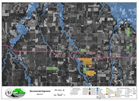
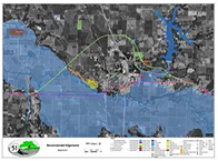
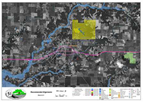
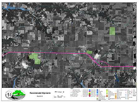
The purpose of the meeting was to present study updates and the alignments recommended for further study around the communities of Ramsey, Vandalia, Vernon, Patoka, Sandoval, and the Centralia area. A formal presentation (identical content at all three meeting locations) was followed by an open house to review project exhibits and provide an opportunity for discussion and questions. Comments were taken at the meeting, and were also accepted by mail, email, or fax. The Recommended Alignment exhibits as displayed at the Public Meetings can be seen below:
Recommended Alignment Exhibits
After analysis of impacts, the following exhibits show the alternatives to be recommended for further analysis in the Draft Environmental Impact Statement.
| Centrailia S. Limit | Centralia & Sandoval | Sandoval to Patoka | |
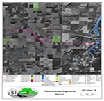 | 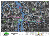 | 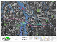 | 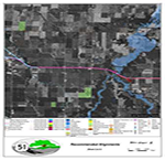 |
| As presented in May 2010 | Updated June 9, 2010 | ||
| Vernon & Patoka | Vernon to Vandalia | Vandalia |
 |  |  |
| Vandalia to Ramsey | Ramsey | Ramsey to N. Limit |
 |  |  |
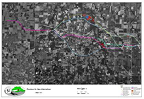
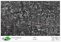
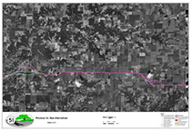
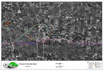
Additional information from the Illinois Natural History Survey (INHS) was received in December 2009, after Public Information Meeting #3. This information included environmental data that influenced the locations of corridors in the Centralia-Sandoval area, Vernon, and Vandalia. Exhibits depicting how this new information affected the alignments was shown at the Public Meetings and can be seen below. To read more about this information please visit the Project Update page.
| Centralia | Vernon Patoka |
 |  |
| Vandalia | Ramsey |
 |  |
In order to develop the Recommended Alignments shown above, a four step process was used to narrow the number of corridors from the initial brainstorm. Below is a description of each step of the development process. For a more detailed explanation of the development process please see the November 2009 Newsletter.
Step #1: Develop Preliminary Corridors
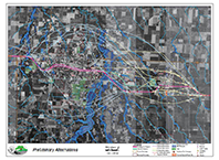
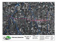
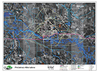
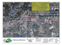
After multiple meetings with the Community Advisory Groups (CAG), Regional Advisory Group (RAG), and a Project Study Group (PSG), a range of Alternatives were developed. These groups were given the opportunity to brainstorm potential corridors and draw their ideas on aerial maps. The potential corridors were then evaluated by the project team for possible fatal flaws, such as impacting Special Lands, State Parks, Natural Area Sites, or Threatened and Endangered Species. If any of these areas were impacted, the corridor was eliminated. Remaining corridors moved on to the Screening and Consolidation step and can be seen in the exhibits below:
| Centralia & Sandoval | Vernon & Patoka |
 |  |
| Vandalia | Ramsey |
 |  |
Step #2: Screen and Consolidate Corridors
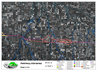
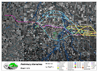
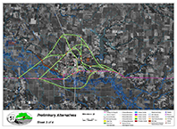
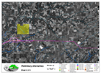
The remaining preliminary corridors were drafted on maps, brought back to the CAGs, and evaluated as “Alternatives” for environmental impacts. Once again, the CAGs reviewed the Purpose and Need for each Alternative and modifications or combinations of corridors were created. The RAG and PSG evaluated the results of the CAGs and made modifications to the corridors based on which corridor would make a feasible and practical alignment and also meet the Purpose and Need. The end result was a range of Alternatives to be studied further in the Macro Analysis. A more detailed description of the consolidation process can be seen in the Corridor Screening Criteria Memo and the Corridor Screening Criteria Matrix. The range of corridors following the CAG and RAG meetings (prior to PSG input) can be seen in the exhibits below:
| Centralia & Sandoval | Vernon & Patoka |
 |  |
| Vandalia | Ramsey |
 |  |
Step #3: Perform Macro Analysis
After the advisory groups narrowed the range of corridor alternatives, the PSG began a large (macro) scale determination of potential impacts to environmental resources. This Macro Analysis considered the possible environmental, cultural, community, agricultural, historical, and operational impacts of each specific corridor alternative. A team of engineers and scientists collected field data and analyzed each corridor alternative using aerial maps, satellite imaging, and geographical information systems (GIS). The project study team evaluated impacts to wetlands, streams, residential, commercial and municipal buildings, prime farmland, and historical sites, in addition to operational features, such as travel time, for each corridor alternative.
The resulting data was then compiled and analyzed in order to determine which corridor alternatives had the least amount of impacts. The remaining corridors were presented to stakeholders at CAG #6. The exhibits presented at CAG #6, and a detailed description of the Macro Analysis and the remaining corridors can be seen in the Macro Analysis Memo, Appendix A, and Appendix B.
Step #4: Develop Preliminary Alignments
A conceptual roadway alignment is currently being developed within each of the remaining corridors to minimize or avoid environmental resource impacts. The Alignment Analysis evaluates the environmental resources impacted by a four-lane US 51 for the length of the study area. The Macro Analysis in Step #3 resulted in five (5) corridor alternatives in the Centralia and Sandoval area, three (3) in the Vernon and Patoka area, four (4) in Vandalia, and two (2) in Ramsey being recommended for preliminary alignment development. The results of the preliminary alignment analysis produced two (2) alternatives in Centralia and Sandoval, one (1) in the Vernon and Patoka area, two (2) in Vandalia, and two (2) in Ramsey. These alignment alternatives are being recommended for continued study in the Draft Environmental Impact Statement. For a detailed description of the Alignment Analysis and the preliminary alignments please see the Alignment Alignment Analysis Memo and Appendix B .